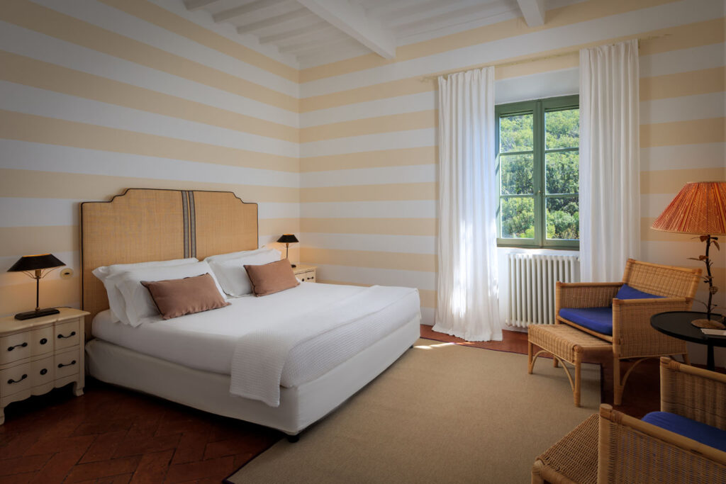
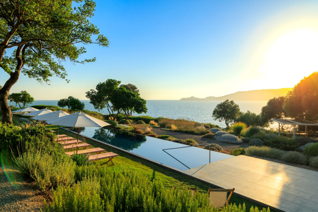


Monte Argentario
DON’T MISS
Porto Ercole. One of the most beautiful villages in Italy.
Porto Santo Stefano. The most important centre in the area and the starting point for ferries to the island of Giglio (v.) It’s also the capital of the municipality of Monte Argentario.
Convent of the Passionist Fathers. Founded by St. Paul of the Cross (at the time Paolo Danei), and inaugurated in 1737 with the title of Retreat of the Presentation of Mary Most Holy in the Temple, it was the first mother house of the Passionist Fathers. Still occupied by the religious order, it occupies a beautiful position with suggestive views of the Orbetello lagoon.
Beaches. The whole coast of Monte Argentario, from Santa Liberata to Porto Ercole, is a succession of cliffs and small beaches, accessible from the sea or, in large part, from the panoramic road that wraps around the entire promontory, despite the large number of private properties that hinder passage to the shore.
Bagni di Domiziano. A free beach with shallow waters suitable for families near the remains of the Roman villa of Santa Liberata, an ancient port (Domitiana Positio).
Pozzarello. A narrow pebble beach, near Porto Santo Stefano with an easily accessible road and a beach resort.
La Bionda. A narrow pebble and stone beach, it can be reached on foot from Porto Santo Stefano along three tunnels of the disused railway, or by car via the Panoramica road going down to the first descent to the left after town.
La Cantoniera. It can be reached via a now disused railway tunnel, where, between 1913 and 1944, the train that connected Porto S.Stefano to Orbetello passed, before the railway network was destroyed by WWII bombs. The beach is partially free and has a beach resort with a bar and restaurant, and is easy to access even for the disabled.
La Cacciarella. From the Panoramic road, park at the gate of the Villa Miragiglio and then follow the path on the right on foot for about 500m. On the beach, there is a cave called the Grotta del Turco. The statue of the Redeemer is located offshore at a depth of 15 metres.
Cala Grande. Pedestrian access to Cala Grande is located at Km 3 + 950 of the Panoramica (SP 65) in Porto Santo Stefano. After crossing the bridge over the Caùto ditch, follow the stream to Cauto Beach and from here, you can reach the three beaches of Cala Grande.
Cala del Gesso. In Porto S. Stefano, pass the ferry port, turn left on the Panoramic road to Via dei Pionieri; pass a gray gate with the inscription “Luiso et amore” and another green gate with the words “La Pineta”. Enter the gate with the number 5 and after 20-25 minutes on foot, you will reach the cove. From the beach, you can see the islet of the Argentarola.
Cala Piccola. A rocky beach that looks out to the Scoglio del Corallo, one of the most beautiful diving spots in the Argentario.
Mar Morto. A stretch of rocky coastline with natural pools, accessible by a path of about 500 m. The name comes from the rocky barriers that protect the stretch of sea, making its waters very still.
Le Cannelle. A predominantly pebbly beach set between the cliffs, often whipped by the winds, with both rocky and sandy bottoms, with a wide variety of marine flora and fauna.
Il Purgatorio (or Bocca d’Inferno). A rocky beach in an inlet with shallow waters, exposed to the Libeccio and the Sirocco winds. Reachable on foot with a rather demanding journey, especially in the final part, of about half an hour.
Spiaggia Lunga. It can be reached by taking the Panoramic road (SP 66) on the Porto Ercole side, after a little more than 1.5 kilometres, and then walking along a short, steep 200-metre path. The beach is sandy, sheltered from north-westerly winds, with sea bottoms that slope gently towards the sea. The beach is completely free and without services.
Adjacent to Mount Argentario are the beaches of Feniglia and Giannella, both of which are sandy and with low sloping sea beds.
HISTORY
Monte Argentario is geologically one of the oldest parts of Tuscany. It has been populated since the Palaeolithic Age, when, thanks to the much lower sea level, it was an imposing mountain overlooking a vast plain that reached the islands of Giglio and Giannutri. It became an island when the sea level rose following the end of the Ice Ages and through a very long process, which perhaps only ended at the beginning of this historical age, was joined to the mainland by the two tombolos of Feniglia and Giannella , formed by the movement of the currents combined with the flow of the Albegna River. There are few traces of an Etruscan presence remaining, but many relevant ones from the Roman era, when Porto Ercole was born. On the northern side of the promontory were two great maritime villas, Santa Liberata and the Muracci of Porto Santo Stefano (today in the Valle district). In this period we know that the mountain, called Promontorium Cosanum, was owned by the Domizi Enobarbi, an important Roman family of plebeian origin, which achieved considerable power between the end of the republic and the beginning of the empire, undertaking the role of Argentarii, or bankers. It was therefore probably Nero, an exponent of this family, who made the territory part of the imperial treasury. The emperor Trajan then donated it to his niece Vibia Matidia, hence the then name Insula Matidiae. The current name, Monte Argentario, is mentioned for the first time by Rutilio Namaziano in his poem De Reditu Suo (416 AD), in which he describes the coasts of the Tyrrhenian on his journey from Rome to the Gauls to escape the barbarian invasions. Tradition has it that it was finally given by Charlemagne to the Abbey of the Three Fountains in 805 together with the rest of the Ager Cosanus (Orbetello, Ansedonia, Montauto, Stachilagi, Marsiliana) and the island of Giglio. Granted in emphyteusis first to the Aldobrandeschi and then to the Orsini, it finally became part of the Republic of Siena. After the conquest of Florence, Monte Argentario, along with Orbetello and Talamone, were ceded to Spain, in exchange for their help in the war, and the area became the Stato dei Reali Presidi (1557). In this period the defense system was strengthened around the entire coastal perimeter and numerous watchtowers were built on the headlands that dot its shores. It was only at the beginning of 1600 that the village of Porto Santo Stefano was formed. It is located in the western part of the mountain and originally included in the community of Orbetello, which became autonomous only in 1842, when it was named the capital of the community of Monte Argentario, the origin of the current municipality.